🗺️
Voter Mapping
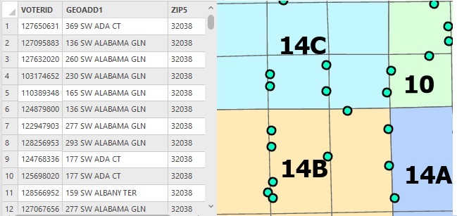
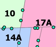
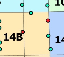
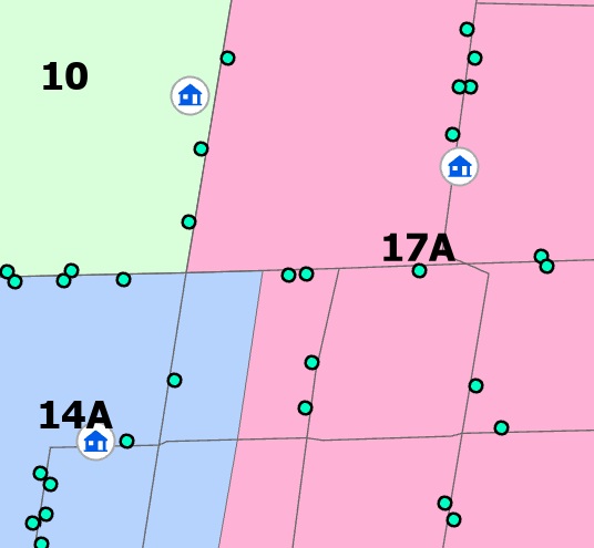
View voters on the map and find assignment issues before they become problems.

 "It all begins with the Map!"
GeoElections® brings voter data, precincts, districts, and polling places directly into your ArcGIS Pro workflow—so your team can manage elections with the GIS tools you already trust.
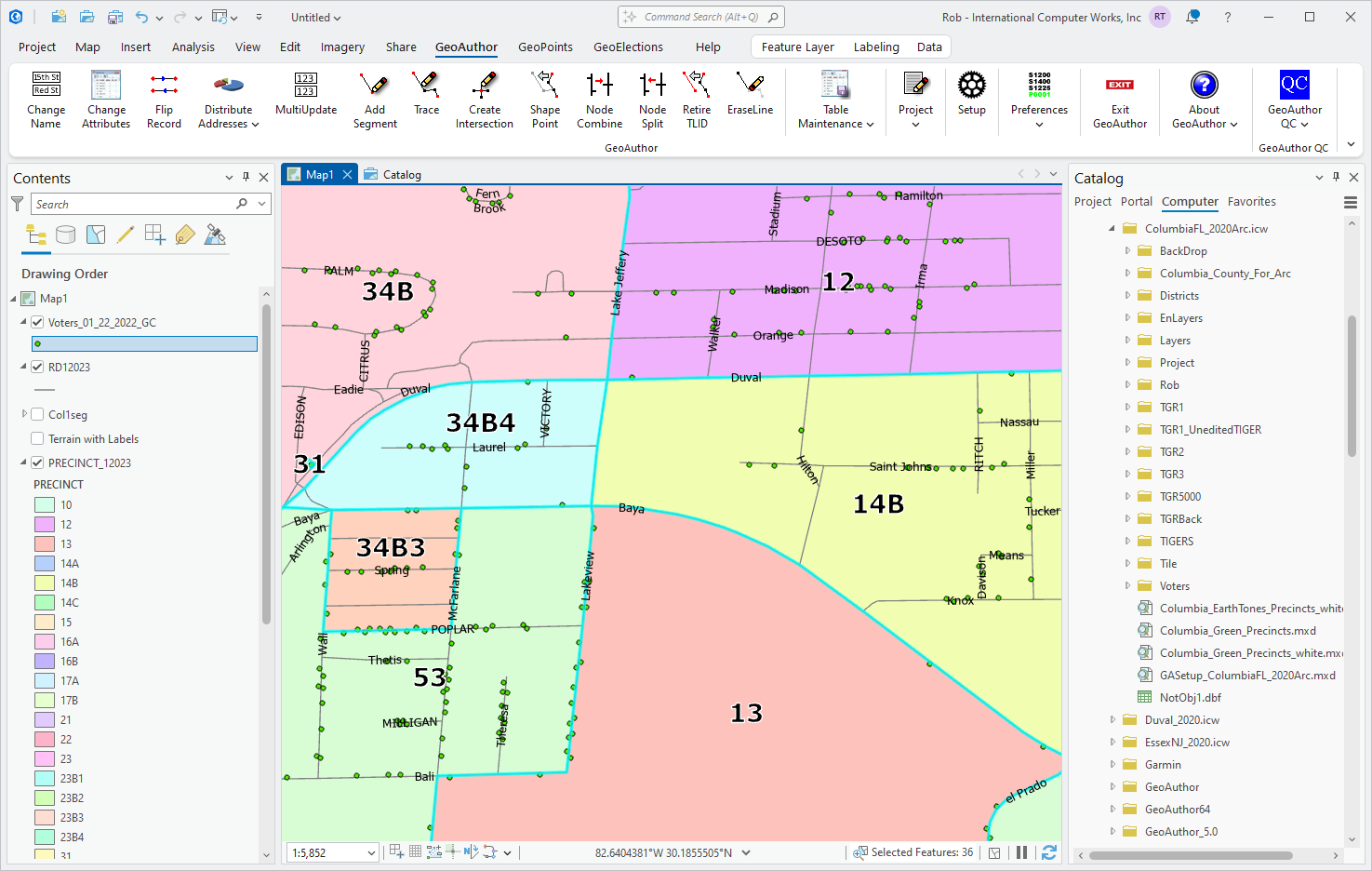
Connect your voter registration data to GIS and see the full picture. Map every voter, review assignments, and identify edge cases visually before they become election-day problems.
Use native ArcGIS Pro editing workflows while GeoElections helps show the voter impact of each boundary decision.
Current voters: 1,248
Proposed voters: 1,102
Change: -146
View voters on the map and find assignment issues before they become problems.
Redraw precinct boundaries and understand voter impact immediately.
Track legislative, county, city, school, and special district boundaries.
Evaluate voter distribution and geographic access when assigning locations.
Create clear maps and reports for staff, officials, candidates, and the public.
Connected workflow
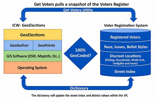
Keep Your Voter System in SyncGeoElections bridges the gap between GIS and your voter registration system, reducing manual handoffs and helping keep voter assignments aligned with your maps.
|  |
The fastest way to understand GeoElections is to see it running with your voters, precincts, districts, and polling places.