 "It all begins with the Map!"
GeoElections News
 Temple Terrace, FL www.icwmaps.com VOL. 2 NO.3 -
  $.50
$.50 
|
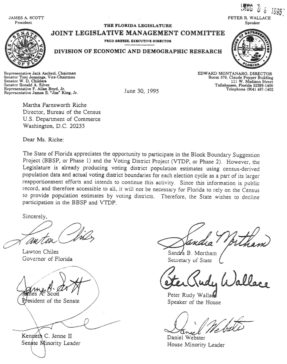
What Did Florida Do In The 1995 Redistricting Data Program? Attached is a copy of the letter Florida leaders signed declining participation. Despite attempts in 1996 by the people at ICW to prevail upon the leadership to allow SOE’s to participate, the policy expressed in the letter was final. This historical decision emphasizes the importance of your role and the benefits for your county with your participation this decade. GeoElections® Enhanced Enhancements include:
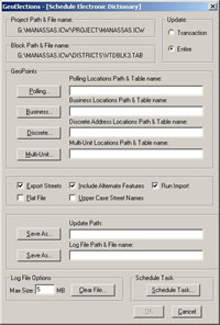
The scheduler can update the VR during off peak hours. Be A Player Ante Up For 2010 It appears Florida will participate in the 2010 Census Redistricting Data Program and the SOE in each county will be invited to make a GIS data contribution. This is great news for all 67 counties and excellent for the GeoElections® client base. The GIS base for the GeoElections® user is the US Census TIGER/Line Files (i.e. roads, blocks, etc.). The blocks are assigned to one or more geopolitical boundaries (GB) used to determine ballot style. The blocks are then aggregated to define precincts. When a GB crosses a block the result is a block split. Typically these are defined with new lines added to the TIGER database. These are the lines GeoElections® users will want added to the 2010 TIGER/Line Files for their own county. You can also add lines anticipated to define blocks need into the next decade. As stated in the Federal Register/Vol. 69, No. 93/Thursday May 13, 2004 page 26547, “…States that choose to participate in Phase 2 will receive on a flow basis, geographic products (maps and/or computer files) for their use in submitting to the Census Bureau the voting districts and suggestions for the Census 2010 tabulation census block inventory.”
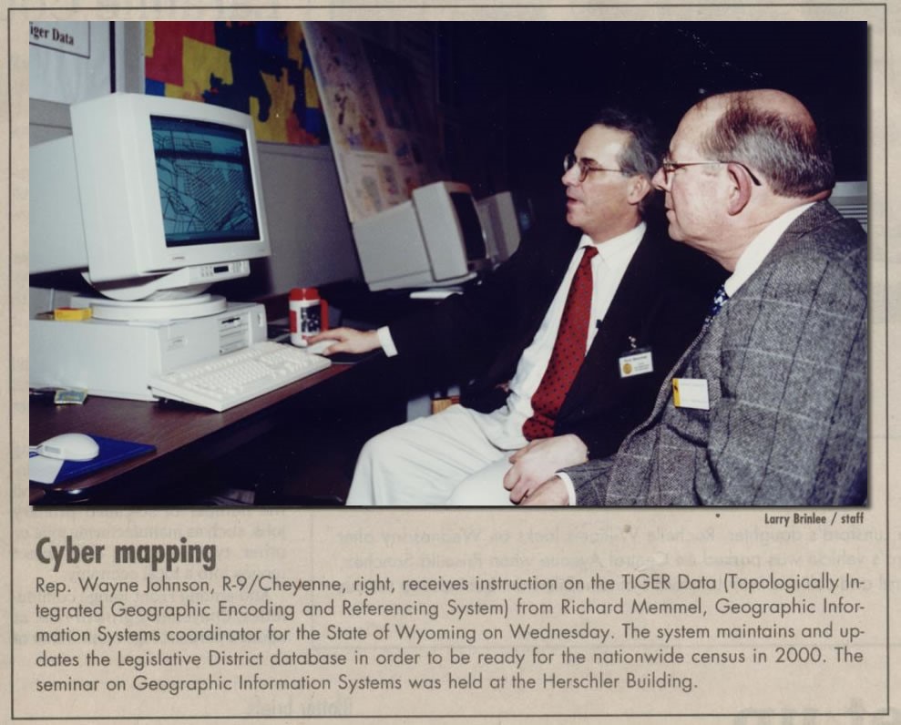
In 1995 ICW was awarded a contract from the Secretary of State of Wyoming in to build software for use in Phases 1 and 2. 4th Annual GeoElections User’s Conference: It is not too late to attend. This year the theme is;
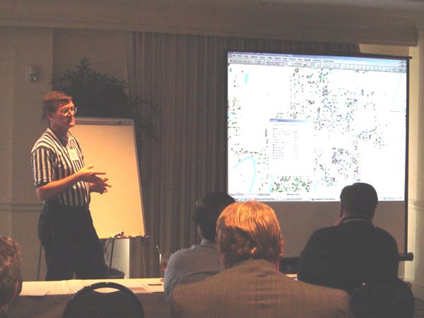
Guest Speakers Wanted Last year’s guest speakers were an overwhelming success. They included: Darlene Walker and Scott Miller (Clay County), Andy Montgomery (Duval County), Barbara Curtis (Pinellas County), and Chuck Smith (Hillsborough County).
If you are interested in participating as a guest speaker, please contact Kristian Gilbert. kristian.gilbert@icwmaps.com |
 |