
 "It all begins with the Map!"
GeoElections News
 Temple Terrace, FL www.icwmaps.com VOL. 21 NO. 1 -
  $.50
$.50 
The 22nd Annual GeoElections User’s Conference – December 2023
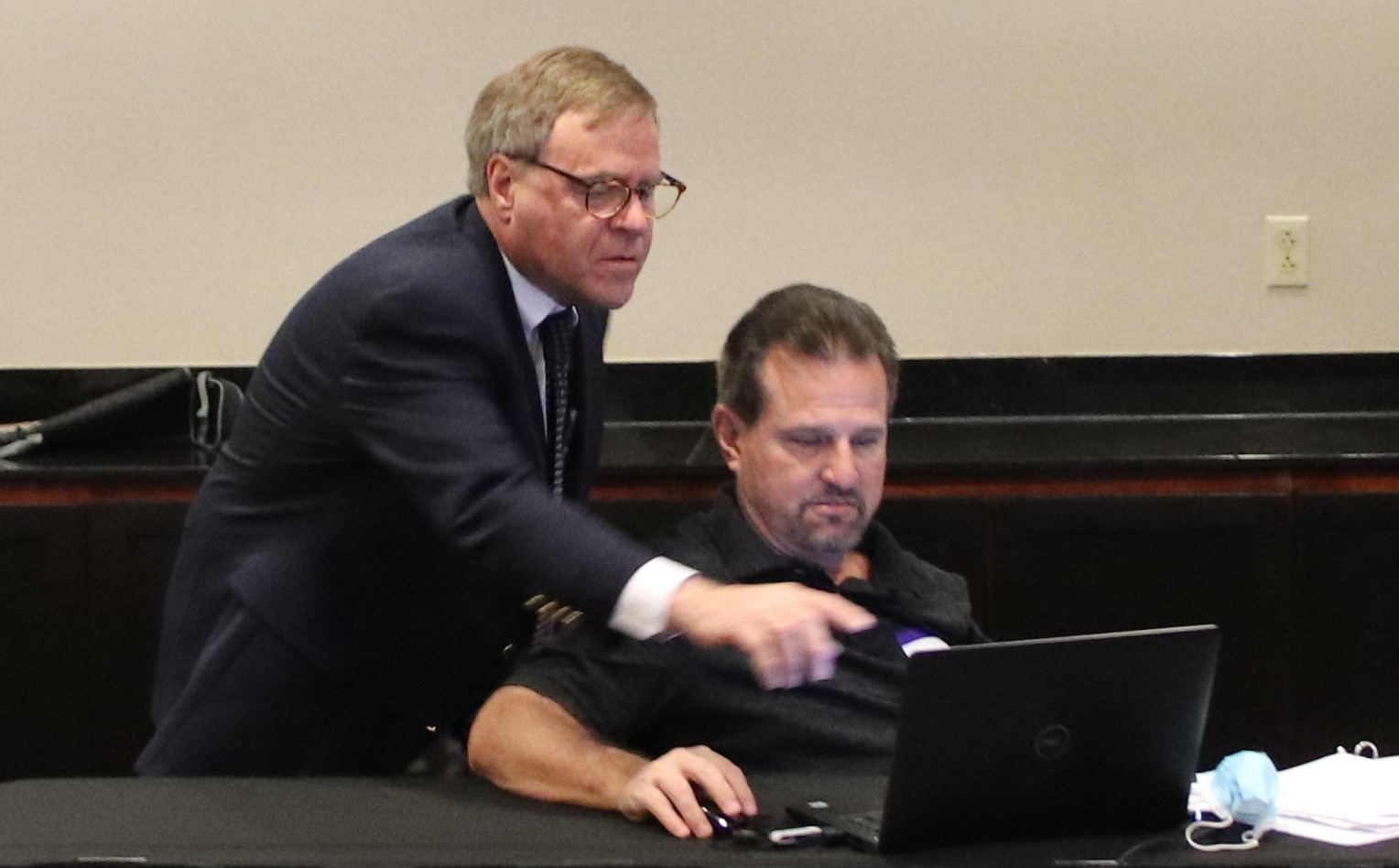
Another outstanding GeoElections Conference was conducted for veterans and new users alike. Guest speakers included Colleen Joyce, member of the Redistricting and Voting Rights Data Office with the US Census Bureau. Tamara Holmes from VR Systems, Inc. discussed the use of GeoPoints within the voter registration system. Presentations by the people at ICW all contributed to the Conference.
 |
Colleen Joyce, Assistant Chief, Redistricting and Voting Rights Data Office with the US Census Bureau. Her session did include a brief overview of the 2020 Redistricting Data Program (RDP) with a focus on the Voting District Project. She stated how the program can be improved for 2030 and how state and local governments can get data for the geographic areas they need. Colleen also discussed upcoming data product releases, early plans for the 2030 RDP, and another research related to the 2030 Census. Why Jefferson, Madison, and the Founders Enshrined the Census in our Constitution was purely magical. “The U.S. Constitution empowers the Congress to carry out the census in "such manner as they shall by Law direct" (Article I, Section 2). The Founders of our fledgling nation had a bold and ambitious plan to empower the people over their new government. The plan was to count every person living in the newly created United States of America, and to use that count to determine representation in the Congress. Enshrining this invention in our Constitution marked a turning point in world history. Previously censuses had been used mainly to tax or confiscate property or to conscript youth into military service. The genius of the |
Founders was taking a tool of government and making it a tool of political empowerment for the governed over their government. They accomplished that goal in 1790 and our country has every 10 years since then. In 1954, Congress codified earlier census acts and all other statutes authorizing the decennial census as Title 13, U.S. Code. Title 13, U.S. Code, does not specify which subjects or questions are to be included in the decennial census. However, it does require the Census Bureau to notify Congress of general census subjects to be addressed 3 years before the decennial census and the actual questions to be asked 2 years before the decennial census.” 1 The Redistricting and Voting Rights Data Office can be reached by email at rdo@census.gov or by phone at 301-763-4039. Tamara Holmes from VR Systems, Inc., discussed the capabilities of the dynamic interface between GeoElections and VR Systems Voter Registration. Tamara is the lead contact for VR Systems seeking helping clients with the use of the interface. 1 US Census Bureau, Census in the Constitution. Google search.
|
Use of GeoElections
The National States Geographic Information Council, better known as NSGIC, was founded in 1994. The purpose of the organization is "to encourage effective and efficient government "…members include state GIS coordinators and senior state GIS managers, representatives of federal agencies, local and county governments, the private sector, the academic sector, and other professional organizations. Among the NSGIC membership are experts, recognized nationally and internationally, in GIS, in IT policy, and in data creation and data management.”2 The people at NSGIC recently stated, “Does America’s electoral system know where each voter resides? By and large, yes. But not nearly well enough to correctly place every voter in the right voting district and avoid election errors.” The author went on to write, “When voters are given the wrong ballot, results are contested. Controversy, legal battles, and even costly do-overs follow. With a presidential election on the horizon, and a redistricting process following shortly on its heels, there has never been a more important time to be able to correctly place voters in the right voting districts.” What the author failed to focus upon were the down ballot elections that are won and lost by 5 or 10 votes. These errors can be avoided with the data integrity delivered with GeoElections and its interoperability with your voter registration system. GeoElections users can attest no voter receives the wrong ballot. All voters receive the correct ballot because of the data accuracy attained with the map editing tools and the data integrity of these map authoring tools used to construct the address to boundary relationships. Interoperability facilitates updating the voter registration system efficiently and economically. |
23rd Annual GeoElections Conference December 4th, 5th, and 6th, 2024 at the Embassy Suites Hotel located at 10220 Palm River Rd., Tampa, FL 33619. Get ready for the new version of MapInfo The GeoElections Conference presents a unique opportunity for elections staff to obtain training in the use of GeoAuthor, GeoPoints and GeoElections. Meet your counterparts from other counties, from Florida and other states. Learn how other professionals solved problems using GeoElections. The GeoElections Conference presents a unique opportunity for elections officials. We focus upon the successful use of GIS in the elections process dictated by the best practices in elections administration. Dinner and Top Golf.
Work hard and plan to enjoy driving off the upper deck. Take your frustrations out on a golf ball with qualified instructors. For more information about the GeoElections Conference visit: www.icwmaps.com and Events>Conferences. See you in December! |
 through the coordinated development of geographic information and technologies to ensure that information may be integrated at all levels of government."1
 Pro. The same files you have used will MapInfo 32-Bit version will work the 64-Bit version. Also, to be presented technical topics using GeoAuthor, GeoPoints and GeoElections. Representative from the U.S. Census Bureaus, VR Systems and Precisely.