
 "It all begins with the Map!"
From One Map Source
Coordinate dispatch, AVL and desktops leveraging your investment.
Creating a geofile for your dispatch system from your mapping system just became a whole lot easier.
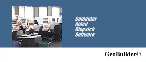
GeoBuilder® from International Computer Works, Inc. (ICW) is an add-on application module that works with ICW map editors, GeoAuthorGT™ and GeoPoints. After your map has been updated with the ICW map editing utility, you create a grid table or response zones, map book pages, etc. to use with your base. The assignments for police response, fire response, EMS, ambulance, animal control, and any other agency are maintained as attributes to each grid. Through the use of the grid, you can manage any changes to assignments or modification to jurisdictions.
GeoBuilderDTG© was developed to provide a means for agencies to use GIS data (principally street data) developed by local departments such as county or city GIS departments with which to build a geofile. The goal of this strategy is to minimize the mapping effort that might otherwise be required on the behalf of the dispatching agency and be positioned to use updates from the original authoring agency when available.
Call for additional details about GeoBuilder® or set up a demonstration using your jurisdiction data.